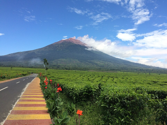
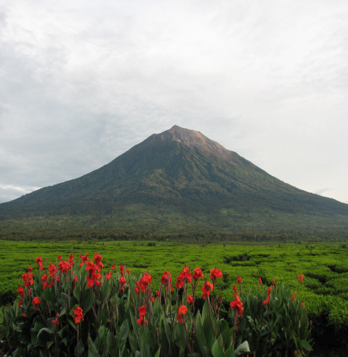
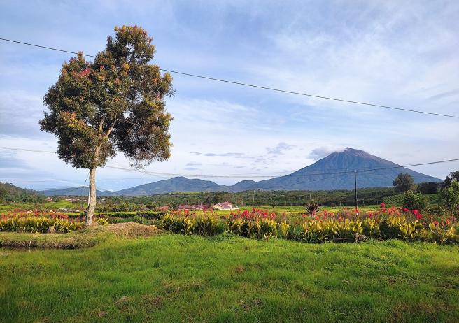
Imagine standing on the highest summit of Sumatra, surrounded by a sea of clouds, with an active crater stretching majestically before your eyes. From an altitude of 3,805 meters above sea level, your gaze can sweep across the Indian Ocean, the valleys of Jambi, and the rolling hills of West Sumatra. This is Mount Kerinci—an active volcano and the ultimate adventure icon of Sumatra. Located within the Barisan Mountain Range, its trekking route is accessible from South Solok Regency, specifically through Nagari Lubuk Gadang Selatan in Sangir District. The area lies within the Kerinci Seblat National Park (TNKS), home to endangered wildlife such as the Sumatran Tiger and a paradise for eco-tourism enthusiasts.
Mount Kerinci captivates visitors with a blend of dramatic landscapes and thrilling challenges.
• A summit of 3,805 meters—the highest point in Sumatra, crowned by a massive crater roughly 600 meters in diameter.
• Panoramic vistas from the peak—on clear days, you can see Padang, Jambi, and the deep blue of the Indian Ocean.
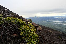
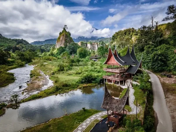
• Layered landscapes—ranging from tea plantations to towering tropical rainforests, mystical moss forests, and alpine vegetation rarely found elsewhere in Indonesia.
• Rich biodiversity—pitcher plants, wild orchids, endemic birds, and rare wildlife that make TNKS a UNESCO site.
• Liki Tea Plantation—a picturesque spot at the mountain’s base, perfect for visitors who prefer not to trek to the summit.
For adventure seekers, climbing to the top of Kerinci is a once-in-a-lifetime experience. Yet there are also lighter activities for casual travelers.
• Full ascent (3–4 days)—journey through tropical forest trails, camp at designated posts, and greet the sunrise from the “roof of Sumatra.”
• Light trekking—walk only as far as the forest gate or the first post to enjoy the cool mountain air and refreshing atmosphere.
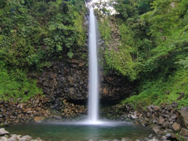
• Nature outings at the mountain’s foot—play by the river, explore waterfalls, or take photos with the grand silhouette of Mount Kerinci.
• Nature photography—capture sunrise and sunset, rolling tea estates, and portraits of rare flora.
• Eco-tourism & education—observe birds, wildlife, and the flora of tropical rainforests.
Mount Kerinci is not only the highest peak in Sumatra but also an active volcano with a uniquely layered ecosystem. The trekking route via South Solok (Bangun Rejo, Nagari Lubuk Gadang Selatan) is relatively new, gentler than the classic Kersik Tuo route in Jambi, and continuously being improved.
Every step along the Kerinci trail reveals a new face of Sumatra’s wilderness: the shade of ancient trees, the chill of drifting mist, and the vast blue sky awaiting at the summit.
Mount Kerinci offers the perfect blend of adventure and natural grandeur. From the South Solok route, every stride brings you closer to the “roof of Sumatra,” accompanied by panoramas unlike anything else.